New satellite mapping in the ice-free landarea of Greenland
New topographical mapping creates the basis for sustainable management and land use.
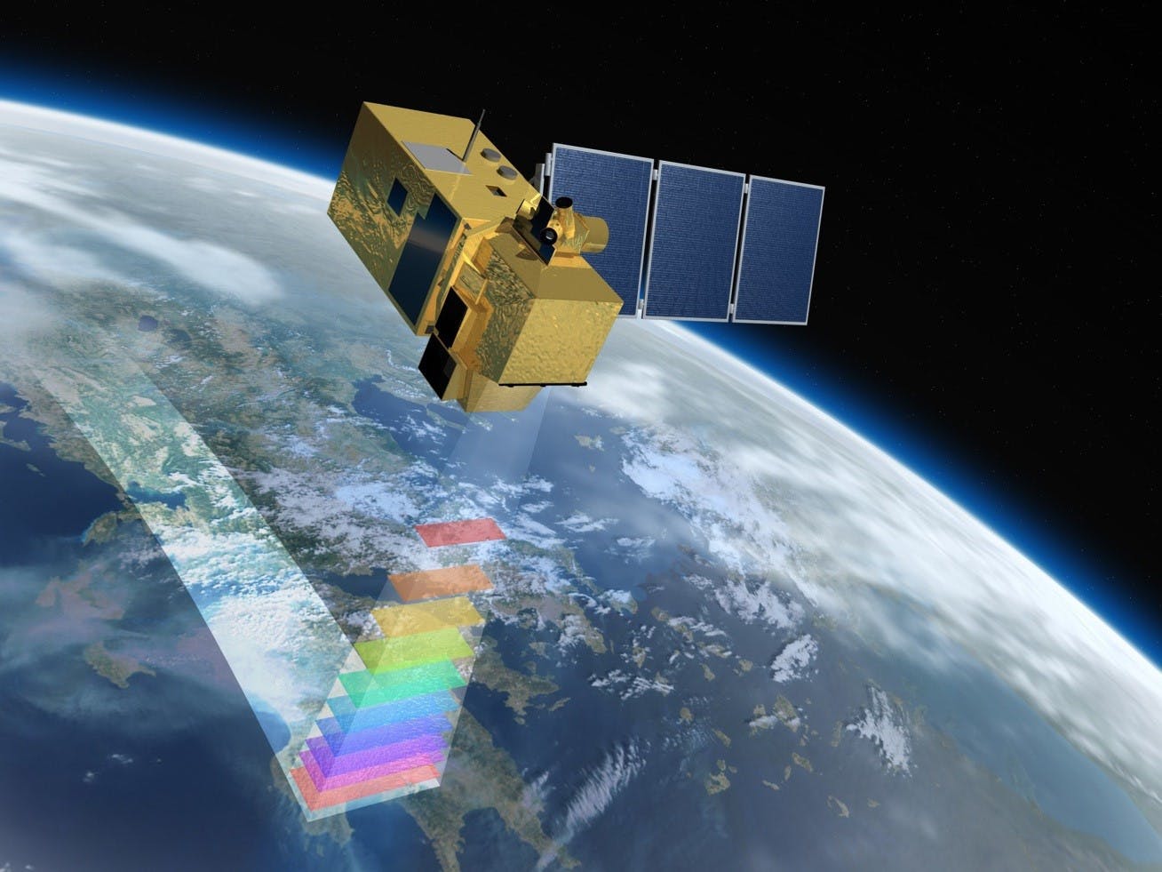
In a collaboration between the Danish Agency for Data Supply and Efficiency (SDFE) and the Greenland Self-Government, new topographical maps are being developed for the ice-free, open country. The new modern digital maps help to support the sustainable development of Greenlandic society both in terms of creating new growth and business development, but also by supporting sustainable management and the management of a wide range of vital, societal tasks such as preparedness, raw material management, land management and environmental protection.
The new survey is partly funded by A.P. Møller and Wife Chastine Mc-Kinney Møller's Foundation for General Purposes (A. P. Møller Foundation) in addition to the Armed Forces and SDFE. The project runs from 2019 to 2022 and amounts to DKK 62 million. Read a storymap about the background and process for the overall project.
Department of National Planning by e-mail: landsplan@nanoq.gl